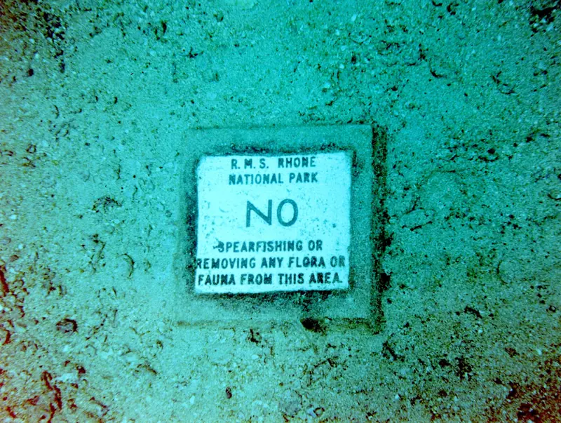
RMS Rhone
Dive site in the British Virgin Islands. Here's what has been recorded at this site month by month, how the region’s reefs have weathered ocean heat, and how to prepare.

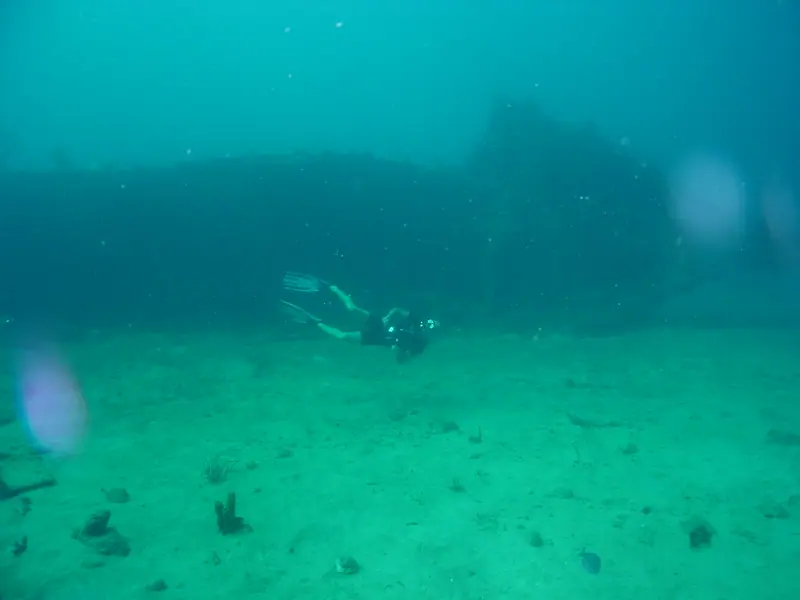
RMS Rhone: dive site in the British Virgin Islands.

Entry
Shore and boat entries vary by site. We list only rules we can cite from official sources; entry points, depths and currents will be added once we can verify them.
- RMS Rhone Marine Park: anchoring and fishing are strictly prohibited; use the mooring buoys provided with a National Parks Trust mooring permit. BVI National Parks Trust · RMS Rhone Marine Park
- National Parks Trust dive moorings are for day use only (overnight use is illegal), and a National Parks Mooring Permit is required by law to use them. BVI National Parks Trust · Marine Conservation
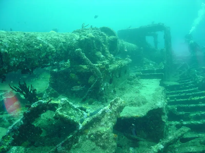
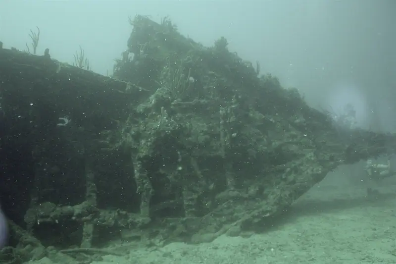
At this site RMS Rhone 2003 1 · Gareth Richards · CC BY-SA 3.0 · Wikimedia Commons
The surface noise falls away.
Reds go first. The world turns blue-green.
Then RMS Rhone rises to meet you.
What lives here, by month
Pick a month. These are the species most often recorded within about a kilometre in that month, from open survey records.
| Species | Jan | Feb | Mar | Apr | May | Jun | Jul | Aug | Sep | Oct | Nov | Dec |
|---|---|---|---|---|---|---|---|---|---|---|---|---|
| Squirrelfish | ||||||||||||
| Gray Snapper | ||||||||||||
| Trumpetfish | ||||||||||||
| Sergeant Major | ||||||||||||
| Blackbar Soldierfish | ||||||||||||
| French Grunt | ||||||||||||
| Yellow Goatfish | ||||||||||||
| Smooth trunkfish | ||||||||||||
| Blue Tang | ||||||||||||
| Common Lionfish | ||||||||||||
| Caesar grunt | ||||||||||||
| Tomtate |
Most-recorded species, all months
- Trumpetfish (4)
- Gray Snapper (4)
- Sergeant Major (4)
- Squirrelfish (4)
- Blackbar Soldierfish (3)
- French Grunt (3)
- Yellow Goatfish (3)
- Smooth trunkfish (3)
- Blue Tang (3)
- Common Lionfish (2)
- Sharknose Goby (2)
- Caesar grunt (2)
- Smallmouth Grunt (2)
- Tomtate (2)
- Bluestriped Grunt (2)
- Porkfish (2)
- Bluehead Wrasse (2)
- Schoolmaster Snapper (2)
- Dog snapper (2)
- Horse-eye jack (2)
GBIF.org (2026-10-15), occurrence records within ~1 km, licensed CC0 or CC BY 4.0 only. Birds and land animals are excluded. Counts reflect survey effort, not abundance. 224 qualifying records. See them on GBIF. Common names: Wikidata (CC0) / GBIF. Species photos: Wikimedia Commons, credited with each species.
Forty-one summers of heat
Each stripe is one year since 1985, colored by its peak heat stress across NOAA's “Virgin Islands” region. These are NOAA Coral Reef Watch satellite figures for the whole region, not for this one site.
Heat stress, measured from orbit.
NOAA CRW virtual station “Virgin Islands”. NOAA's alert thresholds are 4 °C-weeks (Alert Level 1) and 8 °C-weeks (Alert Level 2). Station page · Method. Credit: NOAA Coral Reef Watch.
Conditions
Average sea temperature through the year. Check the live readings before you go.
Average sea surface temperature by month: NOAA CRW “Virgin Islands” station climatology (monthly means).
Buoy readings are measurements; forecasts are models. Use them for planning only, and assess conditions on site. Depth and visibility data aren't listed until we can cite a source.
Plan & prepare
- Read the official marine forecast the night before.Offshore, wind and sea state decide the day.
- Check the cited local rules above and pay any park fee before you dive.[Placeholder: verified operator list to come]
- Study this month's species above.You'll recognise more when you know the names.
- Hands off, fins up, buoyancy dialled. Log what you see.Your sightings can become tomorrow's open data.
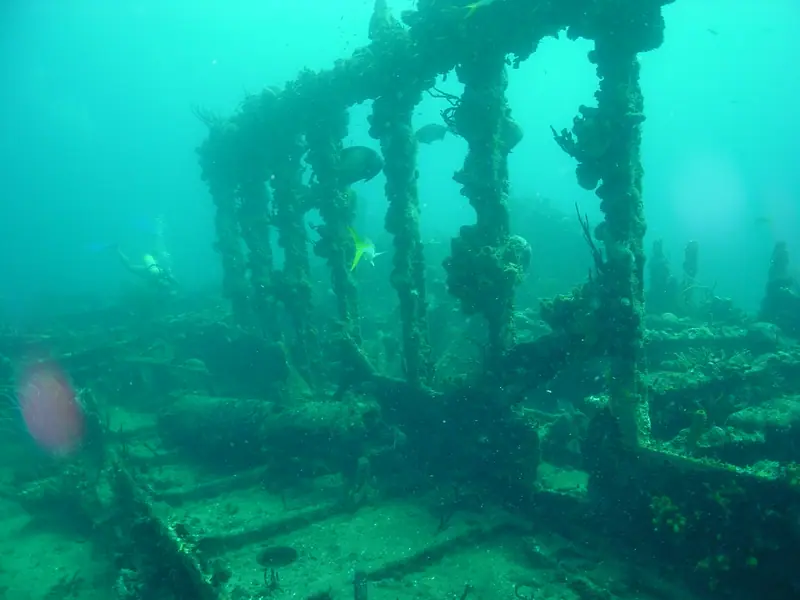
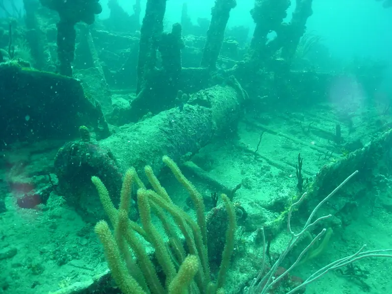
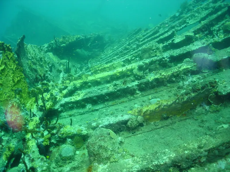
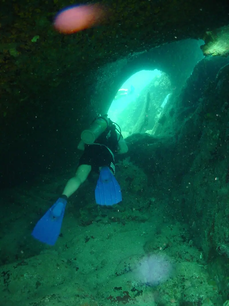
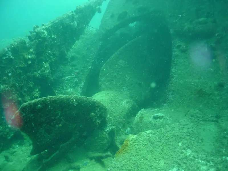
Photographs from RMS Rhone
Openly licensed photos, each checked for location against its title, description, category or geotag. Labels show how close each one is to the site.







Credits
- Coordinates
- Wikidata Q1664018 (CC0). Wikidata (CC0) items for the RMS Rhone and HMS Astraea wrecks and for named islands, rocks and points; most mark the nearby island or point, so treat them as approximate.
- Species records
- GBIF.org, CC0 & CC BY 4.0 records. By license: CC_BY_4_0: 212, CC0_1_0: 12
- Dataset
- iNaturalist Research-grade Observations · doi:10.15468/ab3s5x (112 records) · GBIF
- Dataset
- EOD – eBird Observation Dataset · doi:10.15468/aomfnb (96 records) · GBIF
- Dataset
- CAS Invertebrate Zoology (IZ) · doi:10.15468/tiac99 (10 records) · GBIF
- Dataset
- University of Michigan Museum of Zoology, Division of Reptiles & Amphibians · doi:10.15468/g3bard (4 records) · GBIF
- Dataset
- Delaware Museum of Nature and Science – Mollusks · doi:10.15468/lfwzak (2 records) · GBIF
- Query
- https://api.gbif.org/v1/occurrence/search?decimalLatitude=18.3587,18.378700000000002&decimalLongitude=-64.54560000000001,-64.5256&license=CC0_1_0&license=CC_BY_4_0&taxonKey=44&taxonKey=206&taxonKey=229&taxonKey=136&taxonKey=225&occurrenceStatus=PRESENT&limit=0
- Heat stress & SST
- NOAA Coral Reef Watch, 5 km Regional Virtual Station “Virgin Islands”
- Hero photo
- At this site RMS Rhone National Park sign on ocean floor · O'Dea · CC BY-SA 4.0 · Wikimedia Commons
- Arrival photo
- At this site RMS Rhone 2003 1 · Gareth Richards · CC BY-SA 3.0 · Wikimedia Commons
- Gallery
- 7 photos, credited under each image
- Species photos
- Wikimedia Commons, credited with each species. Full list: Data & sources