British Virgin Islands
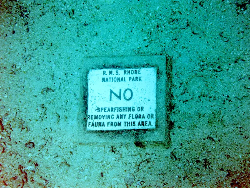
The wreck of the RMS Rhone and the pinnacles, caves and walls of the Sir Francis Drake Channel. 11 dive sites, each with species by month from open records, NOAA reef heat stress and cited local rules.

Dive sites
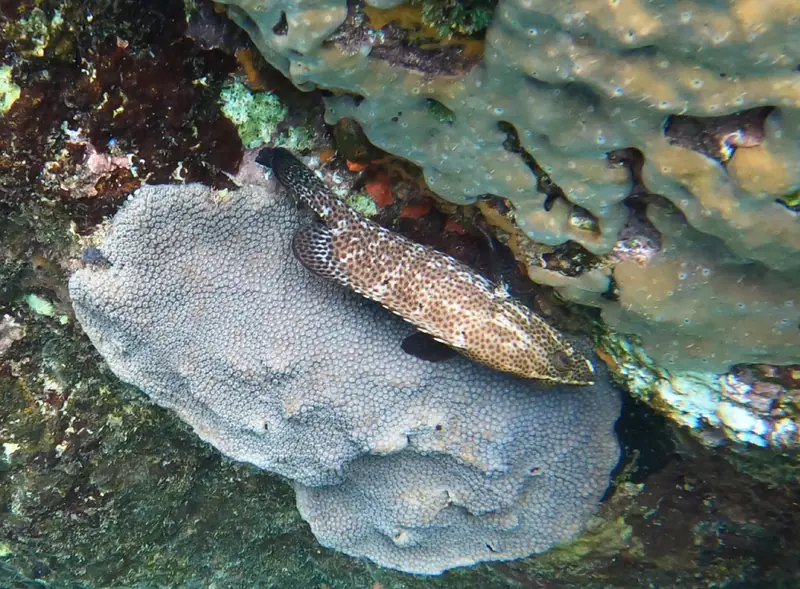
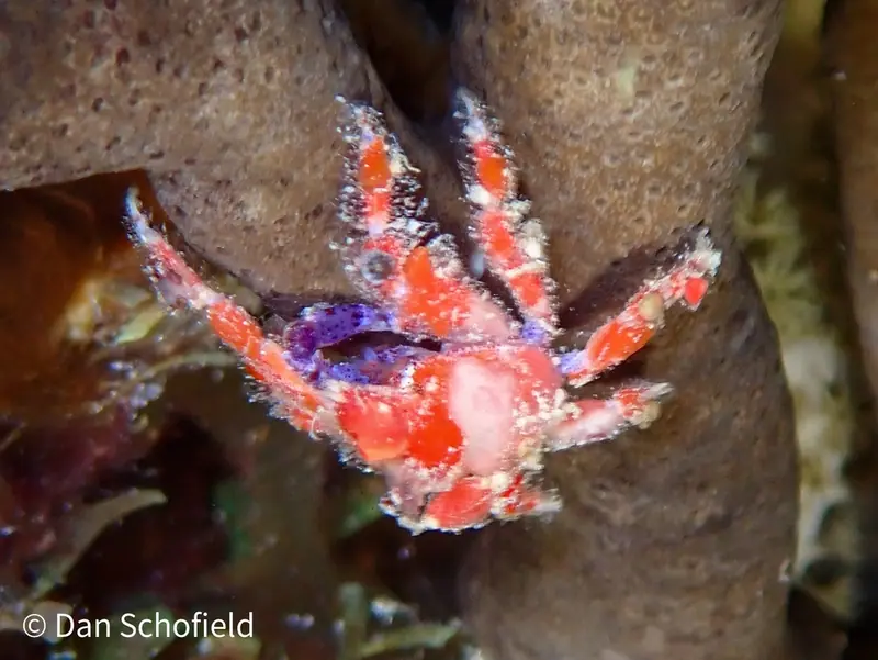
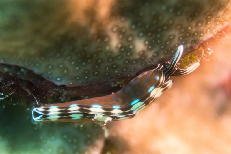
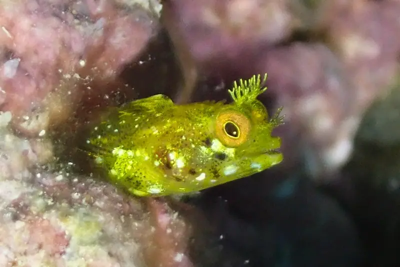
Coordinates: Wikidata (CC0) items for the RMS Rhone and HMS Astraea wrecks and for named islands, rocks and points; most mark the nearby island or point, so treat them as approximate. They mark each site in general, not an entry point.
Local rules
Rules we can cite from official sources. Check them yourself before you dive; they change.
- RMS Rhone Marine Park: anchoring and fishing are strictly prohibited; use the mooring buoys provided with a National Parks Trust mooring permit. BVI National Parks Trust · RMS Rhone Marine Park
- National Parks Trust dive moorings are for day use only (overnight use is illegal), and a National Parks Mooring Permit is required by law to use them. BVI National Parks Trust · Marine Conservation
The reef right now
As of 2026-10-13, NOAA Coral Reef Watch puts its “Virgin Islands” region at 9.5 °C-weeks of accumulated heat stress (status: Alert Level 2). That's a region-wide satellite value, not a reading from any one site.
Most-recorded species
- Flamingo tongue snail (17)
- Blue Tang (13)
- Sergeant Major (13)
- Stoplight Parrotfish (12)
- Bar jack (12)
- Queen Parrotfish (12)
- Trumpetfish (11)
- Bluehead Wrasse (10)
- Brown Chromis (9)
- French Grunt (8)
- Yellowtail Snapper (7)
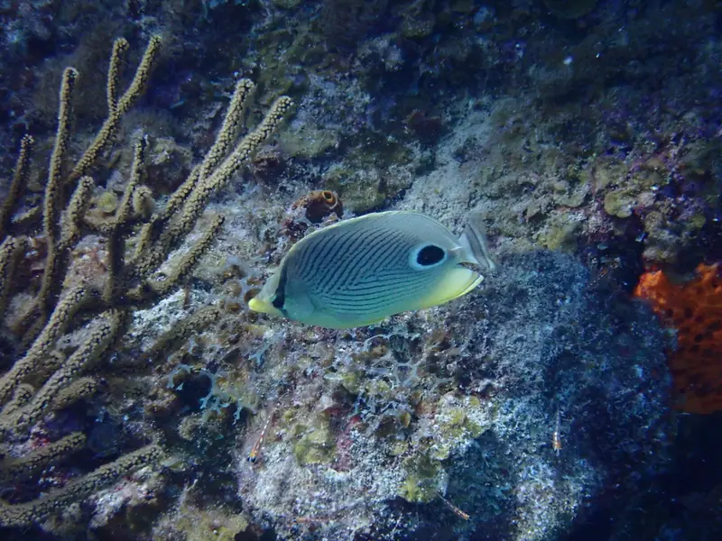
- Foureye butterflyfish (7)
GBIF.org (2026-10-15), CC0 and CC BY 4.0 records within about 1 km of these 11 sites (1,708 records). Counts reflect survey effort, not abundance.
Conditions
Official forecasts first. The nearest NOAA buoy is far offshore, so use it for the regional picture only.