Odyssey Wreck
Dive site at a Roatan Marine Park mooring off Roatán, Bay Islands, Honduras. Here's what has been recorded at this site month by month, how the region’s reefs have weathered ocean heat, and how to prepare.
Odyssey Wreck: dive site at a Roatan Marine Park mooring off Roatán, Bay Islands, Honduras.
Entry
Shore and boat entries vary by site. We list only rules we can cite from official sources; entry points, depths and currents will be added once we can verify them.
- Anchoring in the Bay Islands National Marine Park is prohibited. The Roatan Marine Park installs and maintains dive and snorkel moorings so boats can tie up instead. Roatan Marine Park · Marine Infrastructure
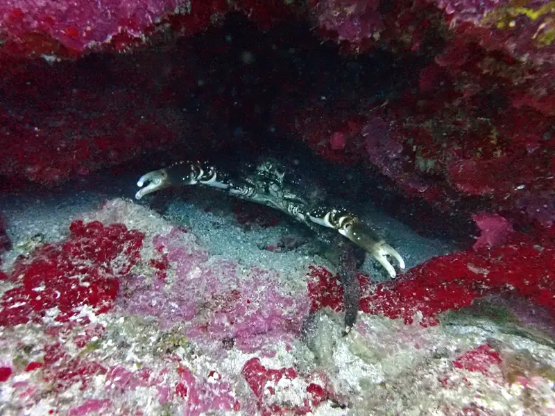
At this sitegeotagged 191 m from the site coordinates West indian spider crab (Maguimithrax spinosissimus) · Josh Noseworthy · CC BY 4.0 · iNaturalist
The surface noise falls away.
Reds go first. The world turns blue-green.
Then Odyssey Wreck rises to meet you.
What lives here, by month
Pick a month. These are the species most often recorded within about a kilometre in that month, from open survey records.
| Species | Jan | Feb | Mar | Apr | May | Jun | Jul | Aug | Sep | Oct | Nov | Dec |
|---|---|---|---|---|---|---|---|---|---|---|---|---|
| Stoplight Parrotfish | ||||||||||||
| Channel clinging crab | ||||||||||||
| Yellowhead Wrasse | ||||||||||||
| Foureye butterflyfish | ||||||||||||
| Indigo Hamlet | ||||||||||||
| Redband Parrotfish | ||||||||||||
| Midnight parrotfish | ||||||||||||
| Caribbean spiny lobster | ||||||||||||
| Gray Snapper | ||||||||||||
| Harlequin Bass | ||||||||||||
| Shy Hamlet | ||||||||||||
| Horse-eye jack |
Most-recorded species, all months
- Stoplight Parrotfish (4)
- Channel clinging crab (4)
- Yellowhead Wrasse (3)
- Gray Snapper (3)
- Foureye butterflyfish (3)
- Indigo Hamlet (3)
- Redband Parrotfish (3)
- Caribbean spiny lobster (2)
- Nicaraguan mosquitofish (2)
- Schoolmaster Snapper (2)
- Largescaled spinycheek sleeper (2)
- Harlequin Bass (2)
- Shy Hamlet (2)
- Horse-eye jack (2)
- Midnight parrotfish (2)
- Black triggerfish (2)
- Flamingo tongue snail (2)
- Blue Tang (2)
- Queen Conch (1)
- Tricolor hermit (1)
GBIF.org (2026-10-15), occurrence records within ~1 km, licensed CC0 or CC BY 4.0 only. Birds and land animals are excluded. Counts reflect survey effort, not abundance. 921 qualifying records. See them on GBIF. Common names: Wikidata (CC0) / GBIF. Species photos: Wikimedia Commons, credited with each species.
Forty-one summers of heat
Each stripe is one year since 1985, colored by its peak heat stress across NOAA's “Honduras” region. These are NOAA Coral Reef Watch satellite figures for the whole region, not for this one site.
Heat stress, measured from orbit.
NOAA CRW virtual station “Honduras”. NOAA's alert thresholds are 4 °C-weeks (Alert Level 1) and 8 °C-weeks (Alert Level 2). Station page · Method. Credit: NOAA Coral Reef Watch.
Conditions
Average sea temperature through the year. Check the live readings before you go.
Average sea surface temperature by month: NOAA CRW “Honduras” station climatology (monthly means).
Buoy readings are measurements; forecasts are models. Use them for planning only, and assess conditions on site. Depth and visibility data aren't listed until we can cite a source.
Plan & prepare
- Read the official marine forecast the night before.Offshore, wind and sea state decide the day.
- Check the cited local rules above and pay any park fee before you dive.[Placeholder: verified operator list to come]
- Study this month's species above.You'll recognise more when you know the names.
- Hands off, fins up, buoyancy dialled. Log what you see.Your sightings can become tomorrow's open data.
Photographs from Odyssey Wreck
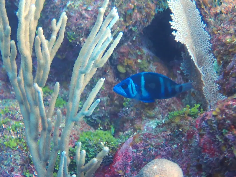
Openly licensed photos, each checked for location against its title, description, category or geotag. Labels show how close each one is to the site.
Credits
- Coordinates
- Roatan Marine Park dive-mooring map, marker “ODYSSEY WRECK” · source · Roatan Marine Park, public map. Roatan Marine Park dive-site mooring map (the park’s published Google My Maps layer of its moorings). Each site uses the named mooring marker.
- Species records
- GBIF.org, CC0 & CC BY 4.0 records. By license: CC_BY_4_0: 894, CC0_1_0: 27
- Dataset
- EOD – eBird Observation Dataset · doi:10.15468/aomfnb (794 records) · GBIF
- Dataset
- iNaturalist Research-grade Observations · doi:10.15468/ab3s5x (99 records) · GBIF
- Dataset
- Field Museum of Natural History (Zoology) Fish Collection · doi:10.15468/alz7wu (23 records) · GBIF
- Dataset
- Collection Herpetology SMF · doi:10.15468/lkc3vq (3 records) · GBIF
- Dataset
- MVZ Herp Collection (Arctos) · doi:10.15468/pi1mts (2 records) · GBIF
- Query
- https://api.gbif.org/v1/occurrence/search?decimalLatitude=16.342271999999998,16.362272&decimalLongitude=-86.554293,-86.53429299999999&license=CC0_1_0&license=CC_BY_4_0&taxonKey=44&taxonKey=206&taxonKey=229&taxonKey=136&taxonKey=225&occurrenceStatus=PRESENT&limit=0
- Heat stress & SST
- NOAA Coral Reef Watch, 5 km Regional Virtual Station “Honduras”
- Hero photo
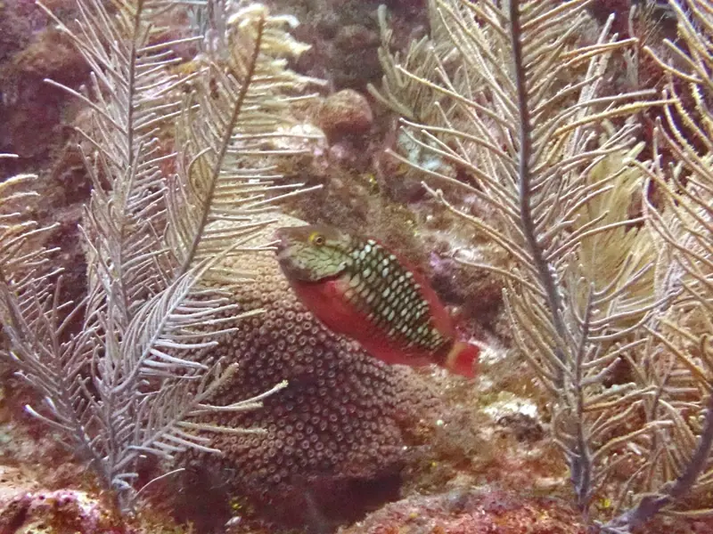
- At this sitegeotagged 0 m from the site coordinates Stoplight parrotfish (Sparisoma viride) · Josh Noseworthy · CC BY 4.0 · iNaturalist
- Arrival photo
- At this sitegeotagged 191 m from the site coordinates West indian spider crab (Maguimithrax spinosissimus) · Josh Noseworthy · CC BY 4.0 · iNaturalist
- Gallery
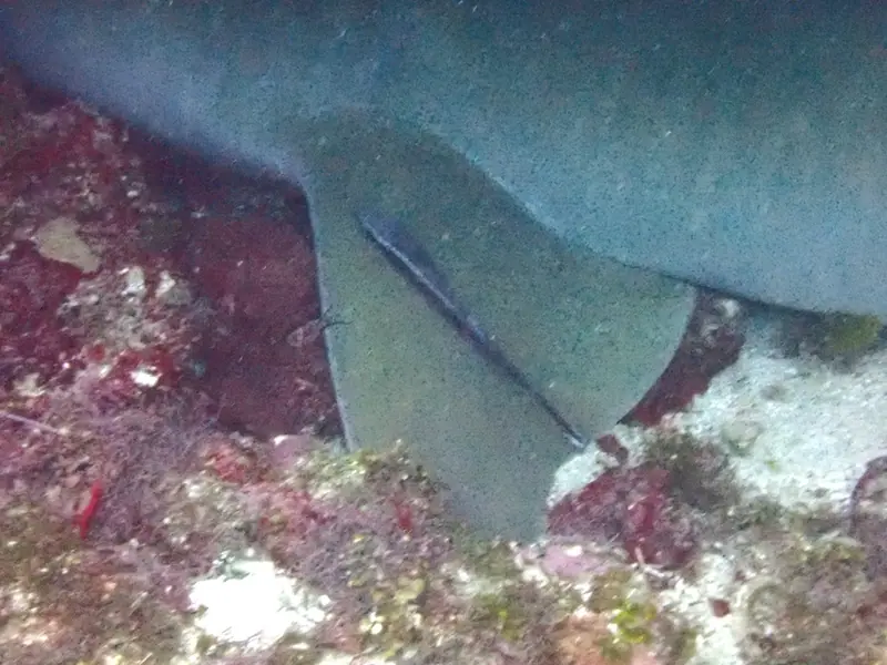
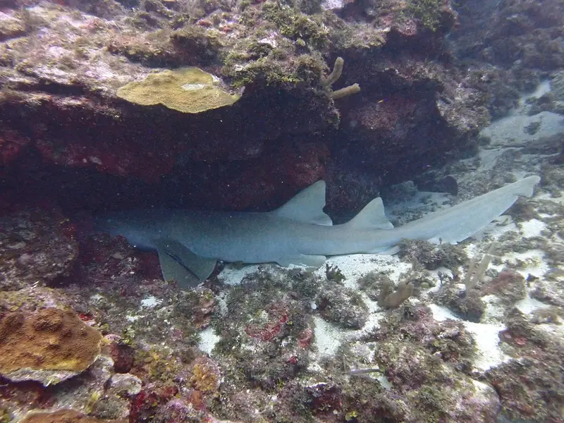
- 3 photos, credited under each image
- Species photos
- Wikimedia Commons, credited with each species. Full list: Data & sources