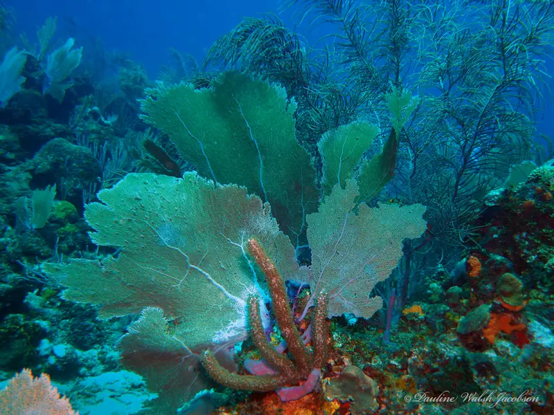
Roatán
Walls, wrecks and channels around Roatán in the Bay Islands National Marine Park. 12 dive sites, each with species by month from open records, NOAA reef heat stress and cited local rules.

Dive sites

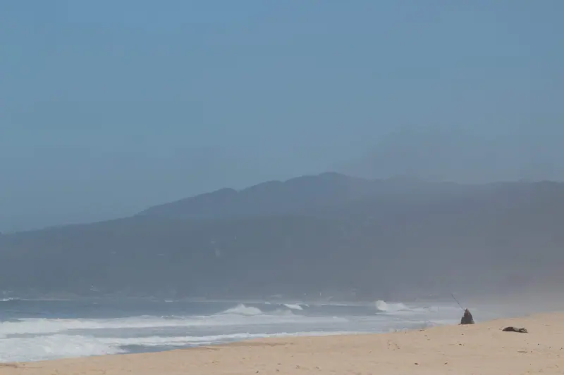
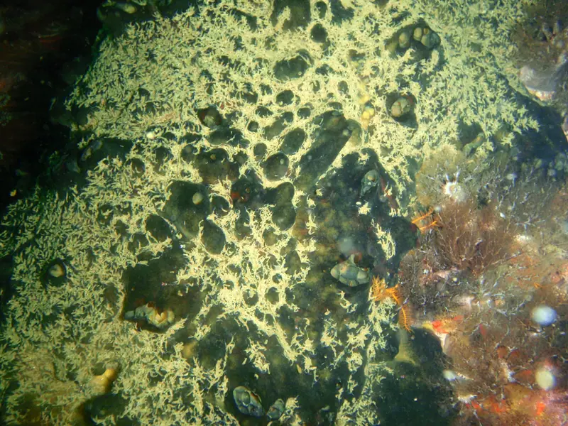
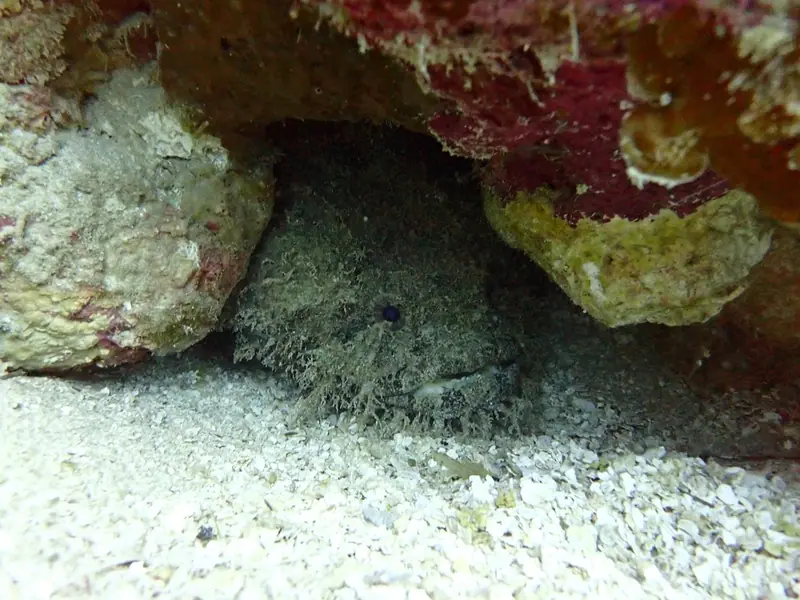
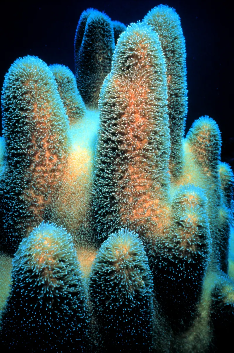
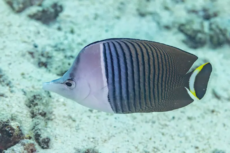
Coordinates: Roatan Marine Park dive-site mooring map (the park’s published Google My Maps layer of its moorings). Each site uses the named mooring marker. They mark each site in general, not an entry point.
Local rules
Rules we can cite from official sources. Check them yourself before you dive; they change.
- Anchoring in the Bay Islands National Marine Park is prohibited. The Roatan Marine Park installs and maintains dive and snorkel moorings so boats can tie up instead. Roatan Marine Park · Marine Infrastructure
The reef right now
As of 2026-10-13, NOAA Coral Reef Watch puts its “Honduras” region at 8.8 °C-weeks of accumulated heat stress (status: Alert Level 2). That's a region-wide satellite value, not a reading from any one site.
Most-recorded species
- Bluehead Wrasse (57)
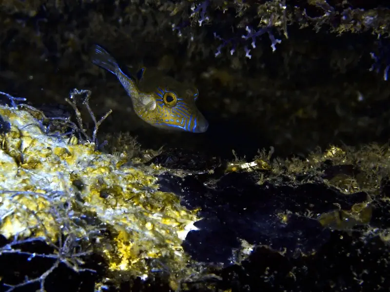
- Sharpnose Puffer (48)
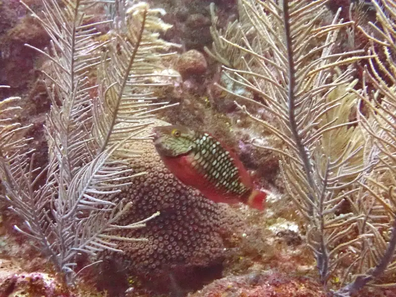
- Striped Parrotfish (45)
- Stoplight Parrotfish (42)
- Royal Gramma (42)
- Blue Tang (36)
- Foureye butterflyfish (36)
- Yellowtail Damselfish (32)
- Great Star Coral (28)
- Longspine squirrelfish (27)
- Yellowhead Wrasse (26)
- Slippery Dick (26)
GBIF.org (2026-10-15), CC0 and CC BY 4.0 records within about 1 km of these 12 sites (33,328 records). Counts reflect survey effort, not abundance.
Conditions
Official forecasts first. There is no NOAA NDBC buoy close enough to be useful here, so we link the official local forecast only.