US Virgin Islands
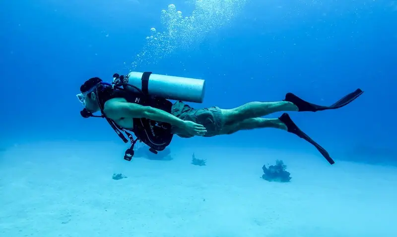
Piers, walls and wrecks off St. Croix, and the rocks and cays around St. Thomas. 10 dive sites, each with species by month from open records, NOAA reef heat stress and cited local rules.

Dive sites
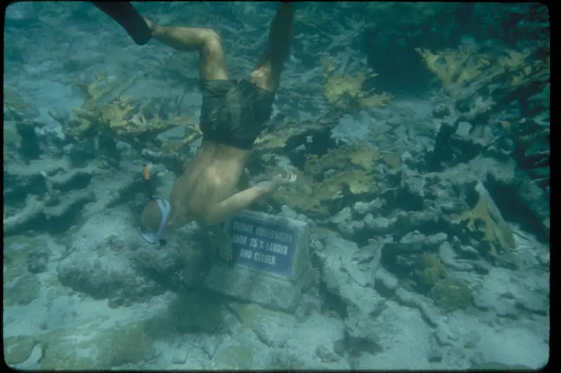
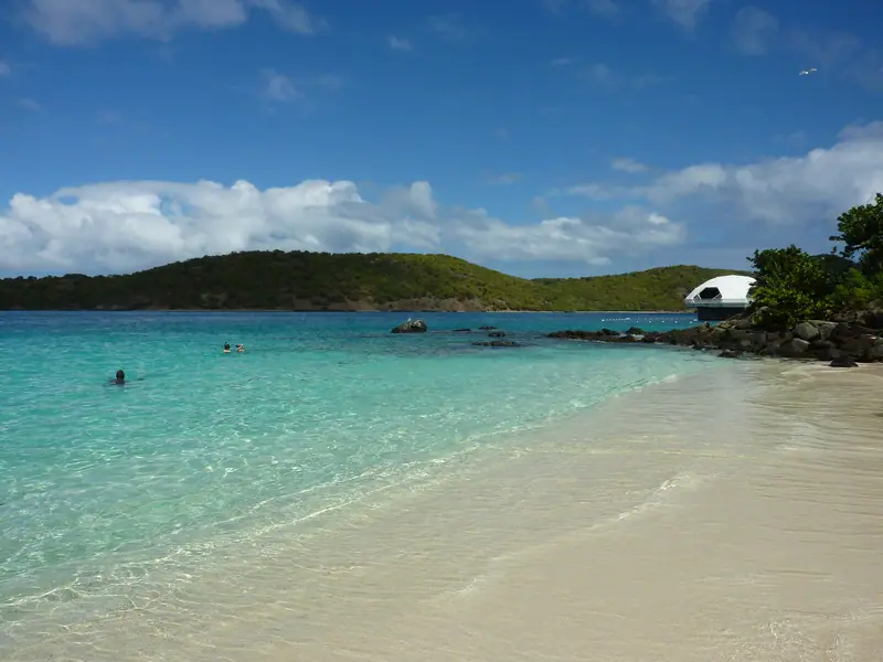
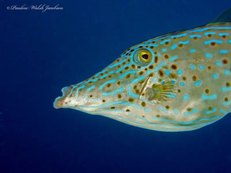
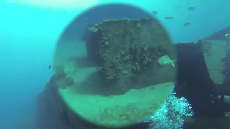
Coordinates: Wikidata (CC0), mostly from US Geological Survey place names, plus one OpenStreetMap (ODbL) reef. Several use the named bay, cay or island, so treat them as approximate. They mark each site in general, not an entry point.
Local rules
Rules we can cite from official sources. Check them yourself before you dive; they change.
- Buck Island Reef National Monument: scuba diving is allowed only at the two designated scuba moorings in the north lagoon, not on the underwater trail. Do not stand on or handle corals. NPS · Buck Island Reef NM
- Buck Island: private boats may anchor only in the anchorage area off West Beach. NPS · Buck Island Reef NM
The reef right now
As of 2026-10-13, NOAA Coral Reef Watch puts its “Virgin Islands” region at 9.5 °C-weeks of accumulated heat stress (status: Alert Level 2). That's a region-wide satellite value, not a reading from any one site.
Most-recorded species
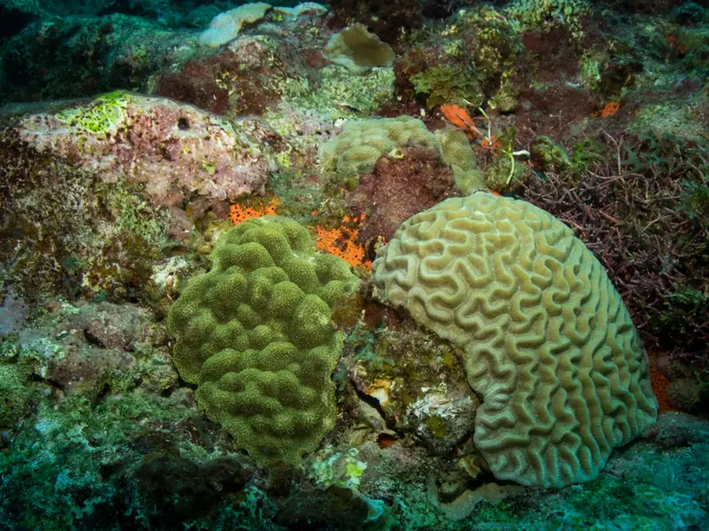
- Mustard Hill Coral (972)
- Massive Starlet Coral (741)
- Great Star Coral (684)
- Lettuce Coral (620)
- Bicolor Damselfish (563)
- Boulder star coral (551)
- Redband Parrotfish (526)
- Blue Chromis (512)
- Yellowhead Wrasse (481)
- Bumpy star coral (463)
- French Grunt (455)
- Bluehead Wrasse (454)
GBIF.org (2026-10-15), CC0 and CC BY 4.0 records within about 1 km of these 10 sites (41,426 records). Counts reflect survey effort, not abundance.
Conditions
Official forecasts first. The nearest NOAA buoy is far offshore, so use it for the regional picture only.