St. Lucia
Reefs and walls beneath the Pitons in the Soufrière Marine Management Area. 10 dive sites, each with species by month from open records, NOAA reef heat stress and cited local rules.

Dive sites
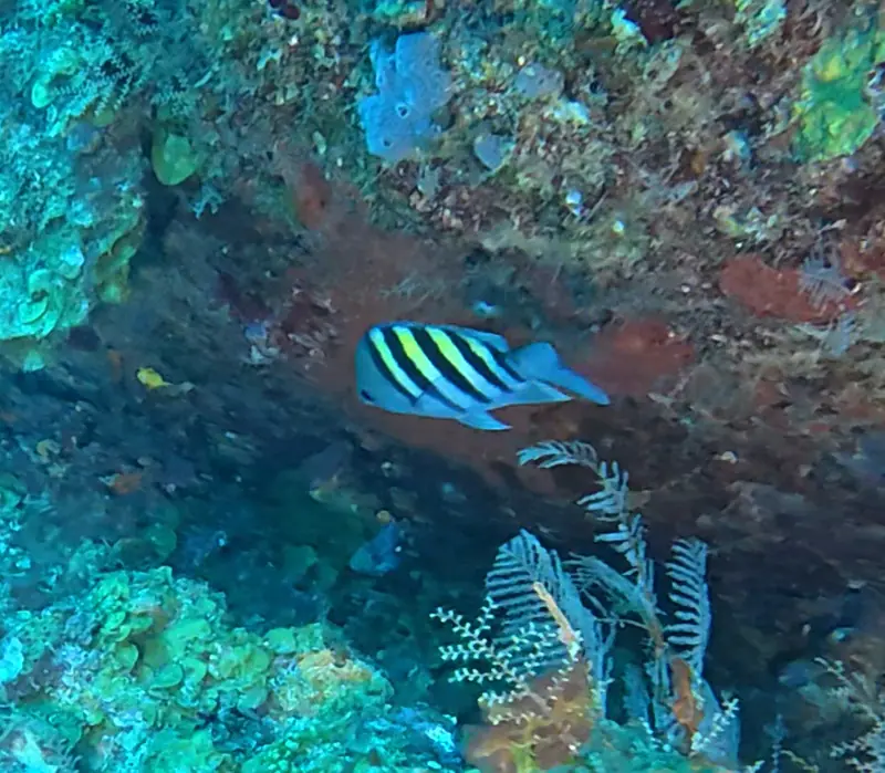
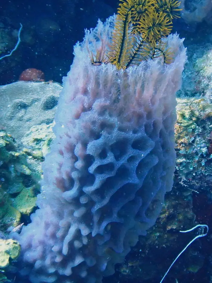
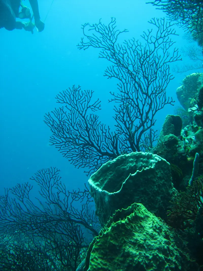
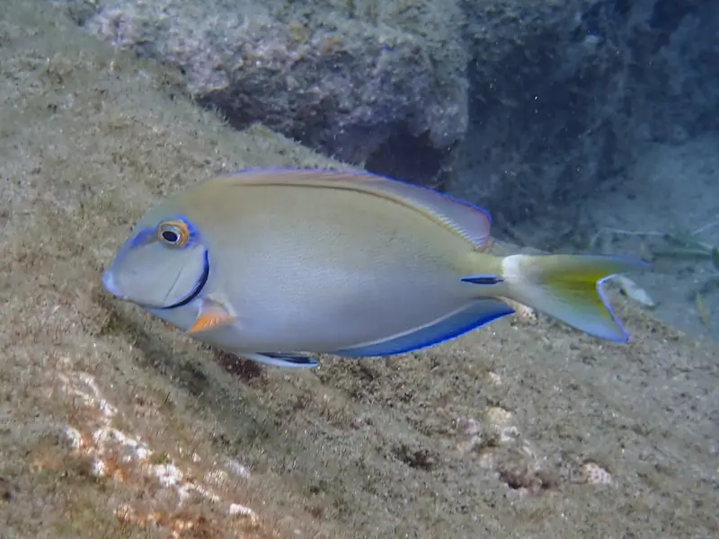
Coordinates: Site names follow the Soufrière Marine Management Association dive-site list. Positions come from OpenStreetMap (ODbL) and Wikidata (CC0); several use the nearest named bay or headland, so treat them as approximate. They mark each site in general, not an entry point.
Local rules
Rules we can cite from official sources. Check them yourself before you dive; they change.
- Access to the SMMA marine reserves needs a permit, available through licensed local dive operators, authorized dive leaders or the SMMA office in Soufrière. SMMA · Zoning
- Anchoring is not allowed in the SMMA; yachts must use the moorings in the designated yacht mooring areas. SMMA · Zoning
The reef right now
As of 2026-10-13, NOAA Coral Reef Watch puts its “Windward Caribbean Islands” region at 6.0 °C-weeks of accumulated heat stress (status: Alert Level 1). That's a region-wide satellite value, not a reading from any one site.
Most-recorded species
- Trumpetfish (25)
- Yellowtail Damselfish (20)
- Plate fish (20)
- Symmetrical brain coral (17)
- Achatina fulica (17)
- Blue Tang (16)
- Whitespotted Filefish (16)
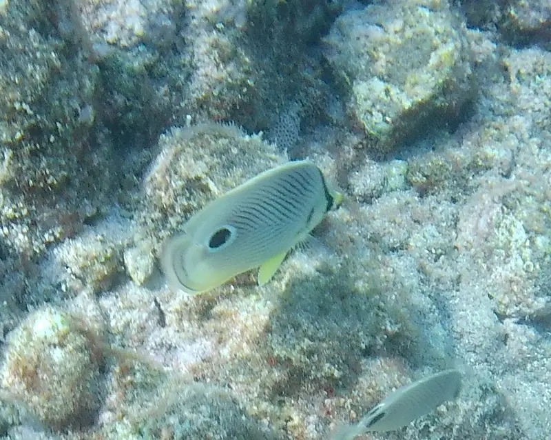
- Foureye butterflyfish (15)
- Bluehead Wrasse (14)
- Queen Parrotfish (14)
- Banded butterflyfish (13)
- Caribbean reef squid (13)
GBIF.org (2026-10-15), CC0 and CC BY 4.0 records within about 1 km of these 10 sites (33,889 records). Counts reflect survey effort, not abundance.
Conditions
Official forecasts first. There is no NOAA NDBC buoy close enough to be useful here, so we link the official local forecast only.