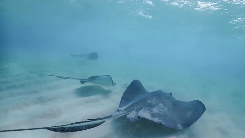
Grand Cayman
Wrecks, walls and Stingray City around Grand Cayman, at Department of Environment public moorings. 12 dive sites, each with species by month from open records, NOAA reef heat stress and cited local rules.

Dive sites
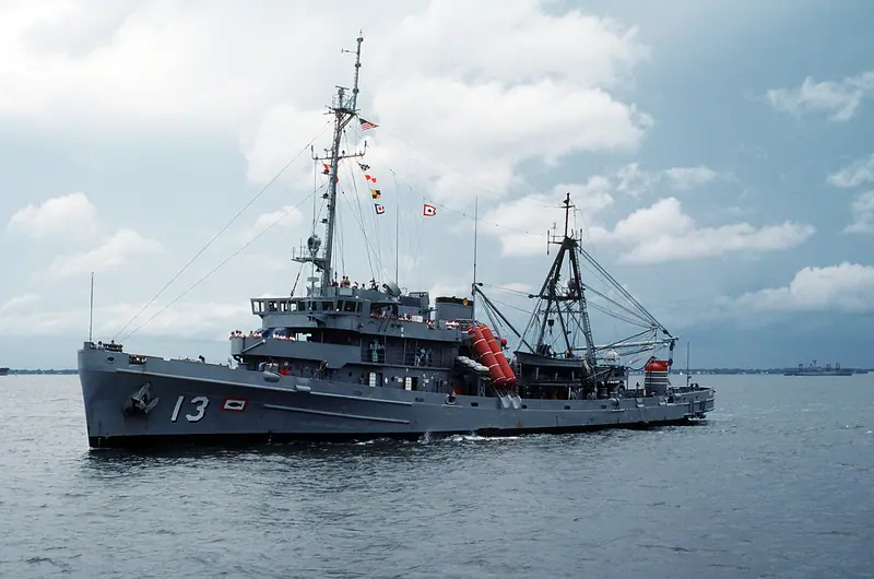
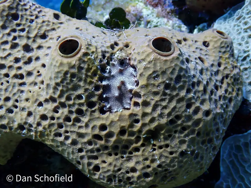
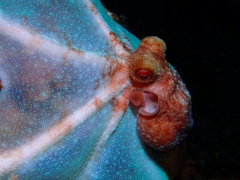
Coordinates: Cayman Islands Department of Environment, Public Moorings (updated January 2023). Each site uses the coordinates of the named public mooring. They mark each site in general, not an entry point.
Local rules
Rules we can cite from official sources. Check them yourself before you dive; they change.
- The DoE has installed public moorings to protect reefs from anchor damage. Use a mooring instead of anchoring whenever possible; it is an offence to damage coral anywhere in Cayman waters. Cayman Islands DoE · Public Moorings
- The maximum stay on a public mooring is 3 hours. Do not use moorings in winds of 25 knots or more. Cayman Islands DoE · Public Moorings
- Marine Park zones carry their own rules (for example, no taking of marine life in Marine Reserve zones and no SCUBA diving in No Diving zones without permission). Check the zone with the DoE app or brochures. Cayman Islands DoE · Marine Parks
- Wildlife Interaction Zones are the only places in the Cayman Islands where you may legally feed or interact with marine life. Cayman Islands DoE · Marine Manners
The reef right now
As of 2026-10-13, NOAA Coral Reef Watch puts its “Cayman Islands” region at 11.9 °C-weeks of accumulated heat stress (status: Bleaching Watch). That's a region-wide satellite value, not a reading from any one site.
Most-recorded species
- Boulder star coral (210)
- Mustard Hill Coral (129)
- Flamingo tongue snail (106)
- Stoplight Parrotfish (75)
- Blue Tang (70)
- Bluehead Wrasse (63)
- Bar jack (63)
- French angelfish (61)
- Finger Coral (61)
- Mutton snapper (59)
- Blue Chromis (58)
- Ocean Triggerfish (57)
GBIF.org (2026-10-14), CC0 and CC BY 4.0 records within about 1 km of these 12 sites (23,319 records). Counts reflect survey effort, not abundance.
Conditions
Official forecasts first. The nearest NOAA buoy is far offshore, so use it for the regional picture only.